

Groundwater have always been a valuable resource for the global development. Nevertheless, they can be challenging in the building construction sector, such as excavating below the water level. Indeed, this is not an easy task, because of the numerous complex variables which must be considered.
In these cases, a very slight mistake during the project development could lead to a dire unsuccess in the construction part, with a huge increase in costs and time.
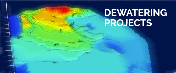
Geoengineering team gathered a great number of skilled experts to give you a reliable answer, starting from field activities, passing through the modeling part and finally delivering a 3D-finite-element groundwater simulation. This reproduction is made integrating GIS and MODFLOW software to achieve the most accurate and reliable result.
The first step to “build” a reliable model is to transpose the hydrogeological model into a tailored software environment; we usually start performing the numerical data analysis with GIS software and lately with the finite element software MODFLOW.
Thanks to this cut-edge analysis process, we can model all the hydrogeological situation and plan and dimension a customized dewatering system, either composed by wells or wellpoint. Our project aims to maximize technical and economical efforts chasing the most efficient solution in order to satisfy our client needs.
Share this Post